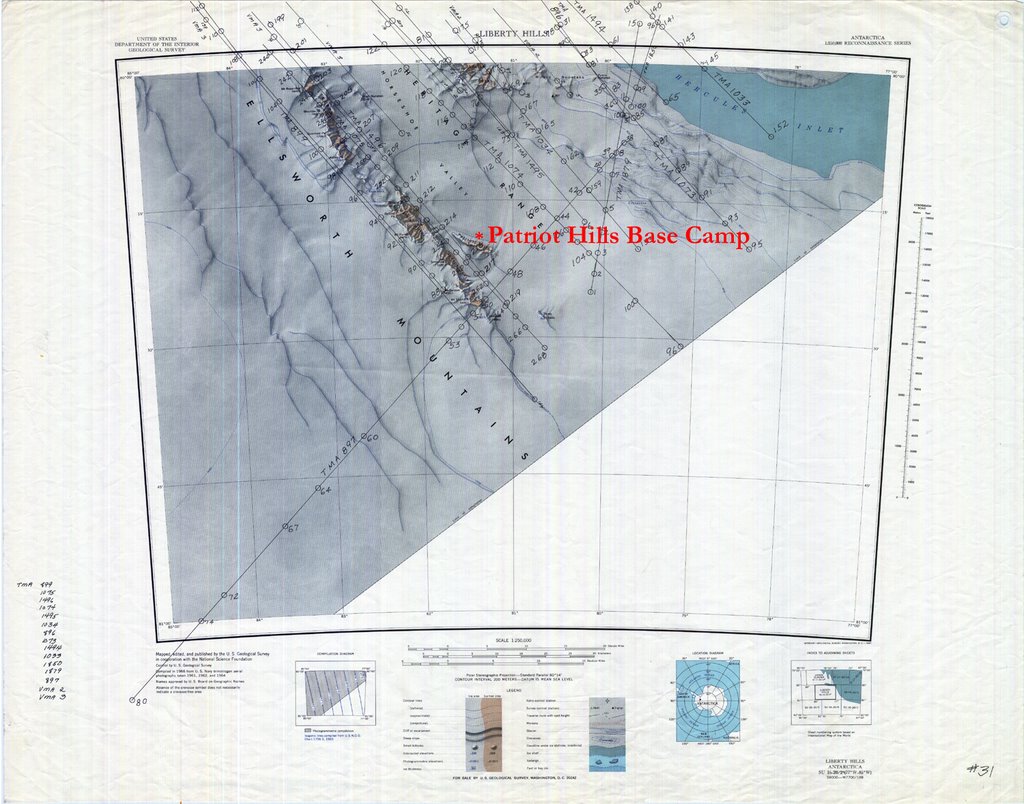
Here is a US Geological Survey topographic map of the region immediately surrounding Patriot Hills, which I hope to explore in my rare days off. The base camp is in the center of the map, about a third of the way down. I hope to help install a VHF repeater up in the hills to increase the coverage area for VHF handheld radios used to communicate with staff and expeditions.

As it will be difficult to send images once I reach Patriot Hills, I will refer to this and other online maps and photos as a reference in future blogs. I recommend that those of you following along download the detailed and far more useful (not to mention beautiful) version of this map found on the Web at http://usarc.usgs.gov/drgs/c80077s1.jpg
2 comments:
This looks awesome.
This will be an awesome experience! Bon voyage Adam; can't wait to read more once you arrive!
Post a Comment